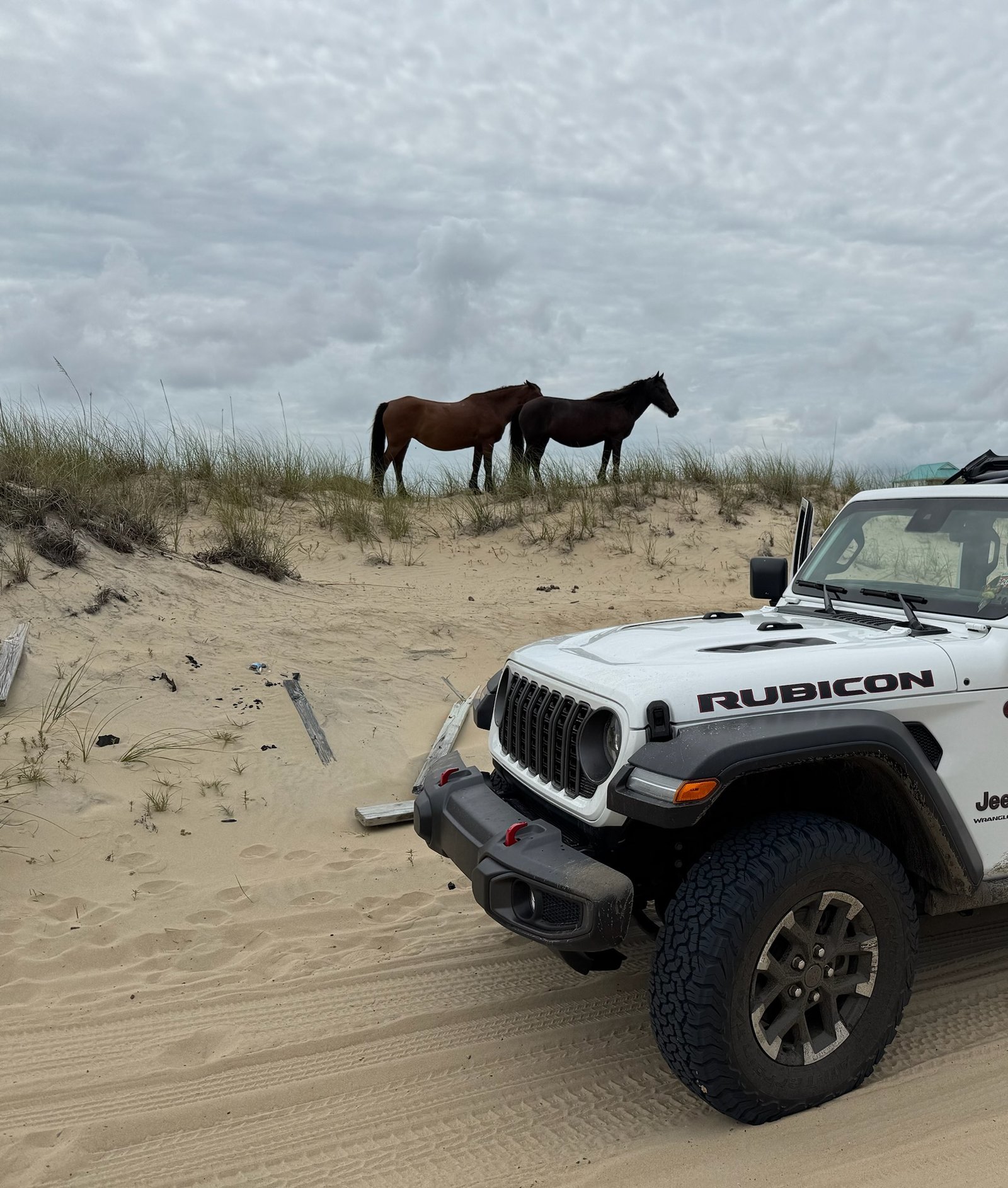
Corolla to the Virginia line · 4WD required · full day
The End of the Road
The 4×4 beach, driven properly. A full day north from Corolla to the Virginia line, on the history nobody stops for.
The route
North of Corolla the pavement stops and the beach becomes the road for eleven miles. You drive it: the sound-to-sea fence that keeps the wild horse herd where it is, Penny’s Hill — the biggest live moving dune on these banks — Swan Beach and the northern hunting clubs that once owned most of this shoreline, and Carova Beach Park, where about two hundred people live year round with no paved road, no store and no gas.
At the top the driving ends at the Virginia line, because False Cape State Park has no road into it and never has. Then you park at the trailhead and walk west to look for a concrete obelisk in the scrub — a marker for the boundary survey William Byrd II ran in March 1728. There is no sign on it and nothing pointing to it, so the game is honest about that: it tells you where to look and what to do if you cannot find it.
What you need
Four-wheel drive, not optional — the sand is the road and two-wheel drive does not make it off the ramp. Air down before you cross, keep to 35 mph and 15 within 300 feet of anybody, and do not park for the first mile and a half north of the ramp. In season the strand also needs a Currituck parking permit. Full tank: there is no fuel north of Corolla. If you do not have a 4×4, Beach4x4 rents them, and it is run by the same people as this site — disclosed on our About page.
Get your team pass
$29 per team — one phone, everyone plays. Your unique team link arrives by email right after checkout.
Questions before you buy? Email hello@obxmaps.com.